
Using the map
Overview
Kompass shows your projects and quotes on a map, so you can see where your work is, find jobs near a site and record the area each project covers. Maps appear in two places:
- The Projects and Quotes lists. Click the map button at the top right of the list (on a phone, Map next to List) to see every project or quote that matches your current filters. Click the list button, or List, to go back.
- A project or quote page. The Map field shows the project's own markers and areas, with nearby projects for context.
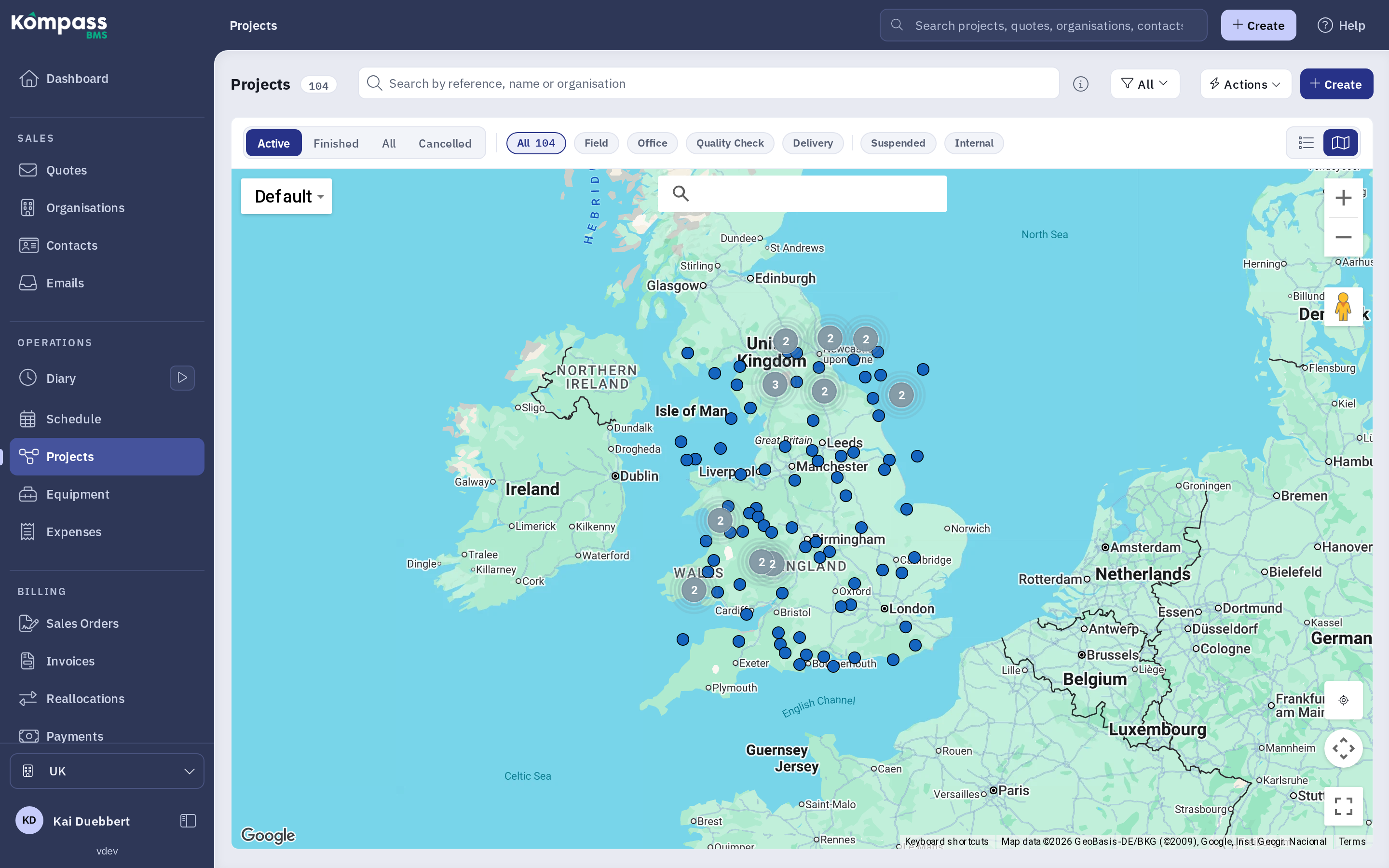
The Projects map. The Show my location button is in the right-hand column, above the fullscreen button.
The Projects and Quotes map
The map shows the same projects as the list. The phase selector (for example Active), the search box and the filter button all apply, so narrowing the list narrows the map too. For the filters themselves, see Methods on filtering proposals and projects. If you use the same filters often, save them as a filter set.
- Each project is a dot, or the outline of its area where one has been drawn. Where many projects sit close together, they are grouped into a numbered circle. Zoom in to separate them.
- Click a dot to open a summary of the projects at that spot: client, phase and the key dates. Click elsewhere on the map to close it.
- Projects load as you pan and zoom. A Loading label at the top of the map shows while they arrive.
Map controls
- Search box: type an address or place and pick a suggestion to move the map there. A red crosshair marks the result. You can also paste coordinates as latitude, longitude, for example
51.5074, -0.1278. - Map type: the drop-down menu switches between the standard map, satellite imagery, satellite with labels, and terrain. Kompass remembers your choice separately for the list map and the project map.
- Zoom: the + and - buttons, or scroll or pinch on the map.
- Street View: drag the yellow figure onto a road to see it at street level.
- Fullscreen: fills the whole screen with the map. Press the button again, or Esc, to return.
- Show my location: centres the map on where you are. See below.
Show my location
The Show my location button (a crosshair icon) is on every map, in the column of buttons on the right. It is useful on site, to see which projects are nearby.
- Click or tap Show my location.
- The first time, your browser asks whether Kompass may use your location. Choose Allow.
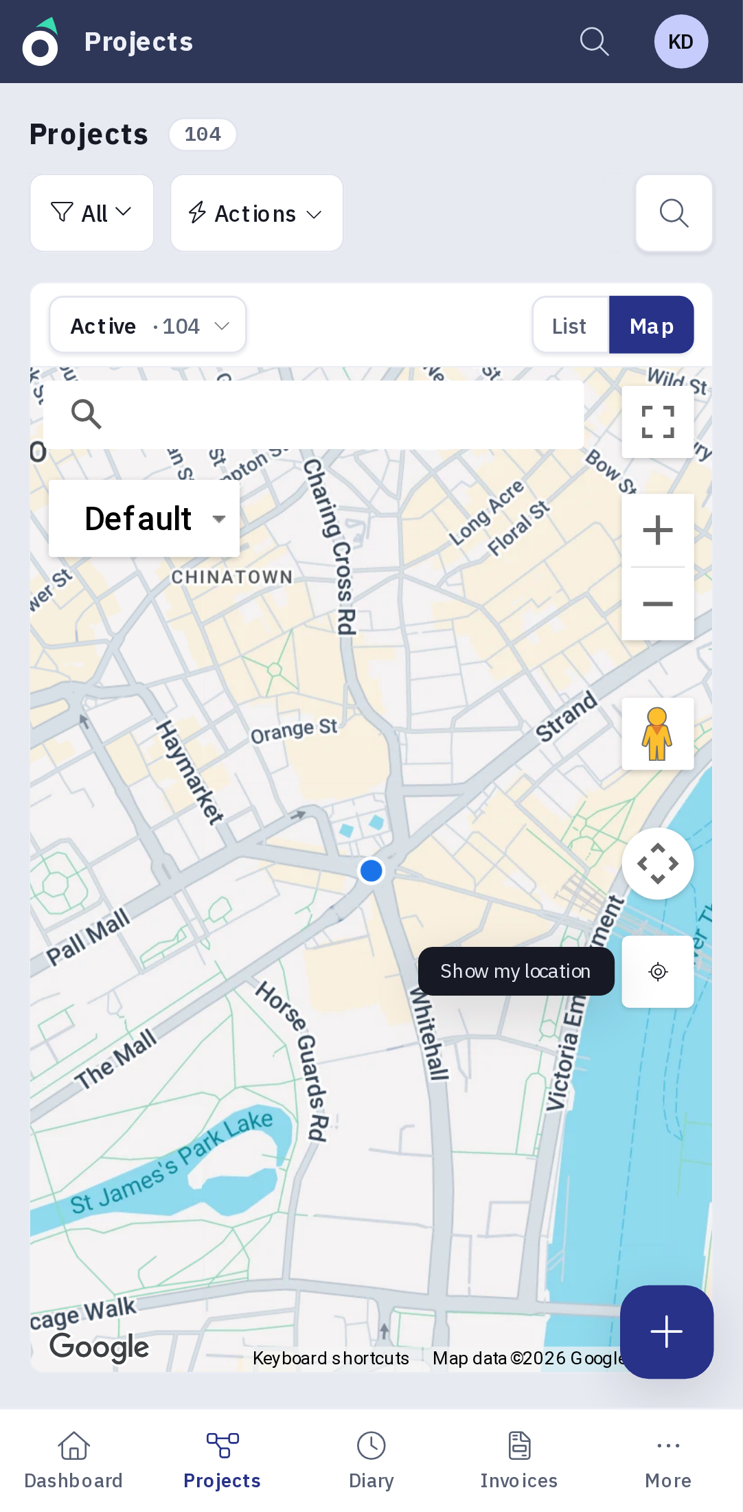
- The map centres on your position, zooms in to street level and marks it with a blue dot.
Your location is only used to move the map. It is not saved in Kompass or shared with your colleagues.
If you see Location access is blocked, location has been turned off for Kompass in your browser or phone. Allow it in your browser's site settings (and, on a phone, in the phone's location settings for the browser), then try again. If you see Your location could not be found, your device could not determine your position: move somewhere with better signal or try again in a moment.
Using the map on a phone
On a phone the map fills the screen between the list's toolbar and the navigation bar at the bottom. To keep the buttons clear of each other on a narrow screen:
- the search box sits at the top left, with the map type menu below it;
- zoom, Street View, fullscreen and Show my location are stacked down the right-hand side, clear of the + button for a new project.
The map on a project or quote
On a project or quote page, the Map field shows the project's own markers and areas. When you edit a project, it needs at least one marker or area before you can save.
- Show other projects: the legend at the bottom left shows nearby projects by age (active projects, and projects finished within the last 12 months, 1 to 3 years ago or more than 3 years ago). On a quote it shows other quotes by outcome instead. Click the legend to choose which groups to show.
- Drawing markers and areas: when you edit the project, a toolbar at the bottom of the map lets you drop markers, draw areas, delete them and upload KML, KMZ or GeoJSON files. Create a new quote/ proposal shows how to mark a project's location when you create a quote.
- Use this address: while editing, search for an address and click Use this address to copy it into the project's address fields.
- Download: the download button on the right saves the project's markers and areas as a KML file, which opens in Google Earth and most mapping tools.
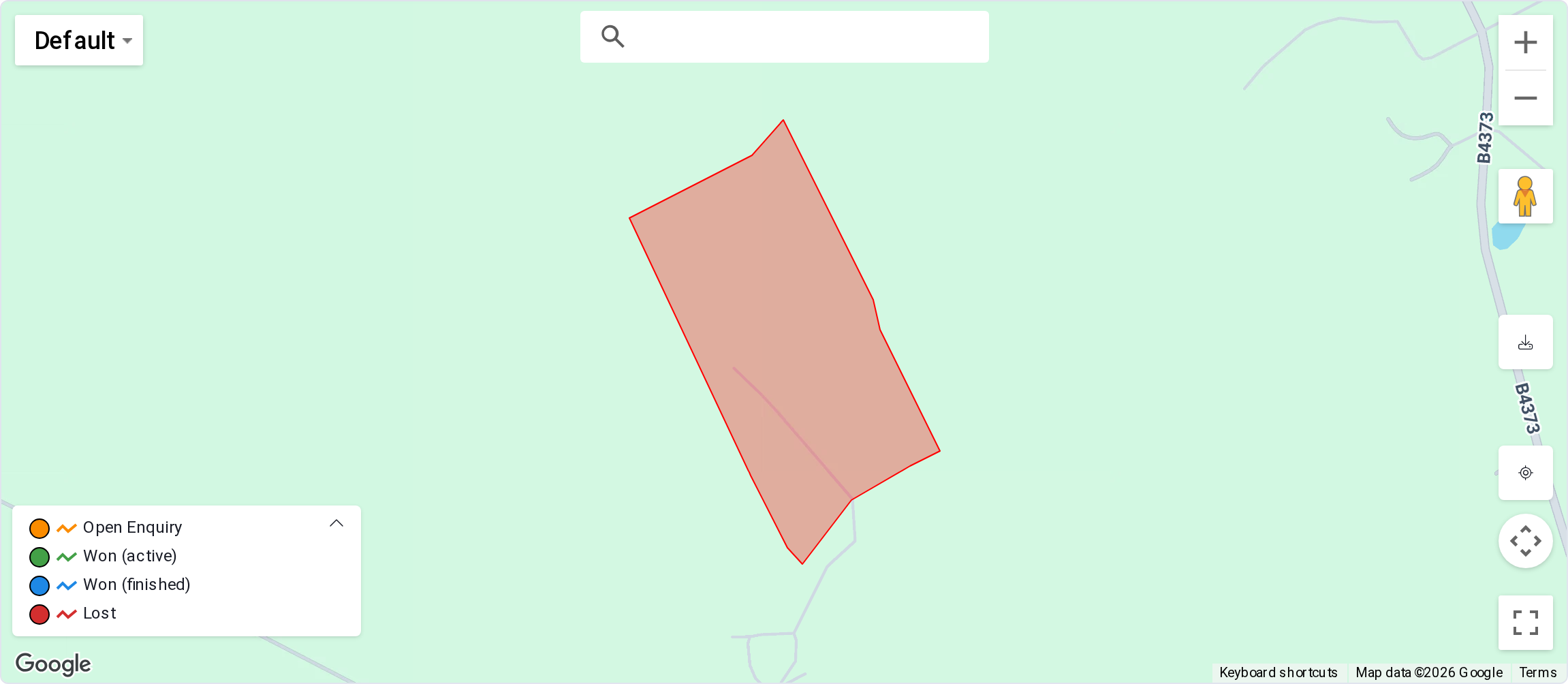
The map on a quote, with the legend showing and the download and Show my location buttons on the right.
If the map does not appear
- A blank grey area usually means the map is blocked by a browser extension (such as an ad or script blocker) or by your company's firewall. Allow maps from Google for your Kompass address.